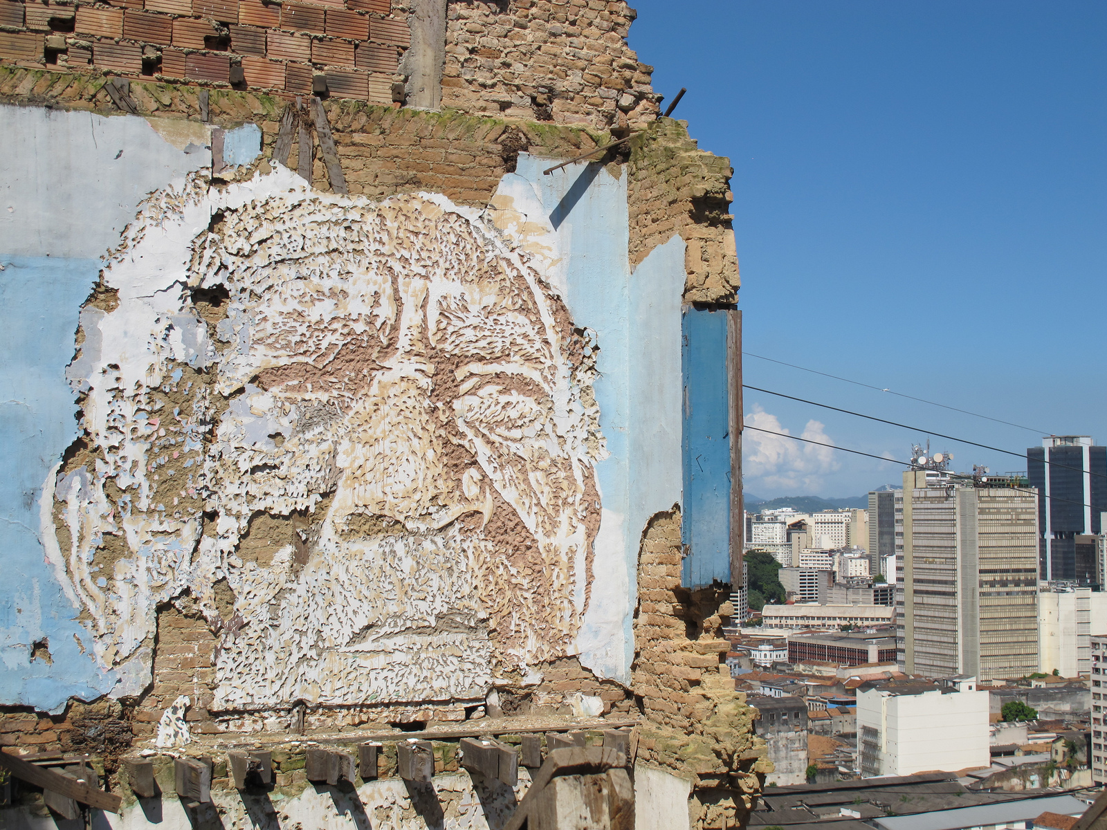
Community Mapping through Transect Walks
A transect map, accomplished through a transect walk, is a tool used by a group undertaking observation-based community improvement, which should include informed community members and people with the technical skills to identify and propose solutions to issues that are visibly manifested on a walk through the community.
Transect walks can supplement formal maps and data, but in cases where these do not exist, they are an excellent tool for creating a record of environmental conditions: those arising in the natural, built and experienced environments. The walk can take 1-3 hours, but advance planning is important to identify objectives and methods. You will need several large sheets of construction paper and markers, then:
1. Discuss aim
A transect walk can serve many functions. In some cases, an outside analyst is helpful for a technical perspective. In others, this activity can serve as a valuable resource when conducted by community residents alone.
The group should have a specific aim when undertaking a transect walk. Three examples including taking note of (1) soil and vegetation types at different points with the goal of increasing green space; (2) open sewage with the goal of brainstorming low-tech sanitation solutions; and (3) access to purchasing food with the goal of increasing this access at points of highest need.
Are you aiming to:
- Facilitate a conversation within a community about local behaviors and needs around a specific location?
- Have an outside researcher or technical expert learn about issues facing the community?
- Address one issue (sewerage, access to food)?
- Evaluate different areas for a possible intervention or project?
Transect walks can accomplish all of these and more. Before the walk, locals and any visitors participating should discuss what previous mapping has accomplished, if anything, and what this map aims to add.
2. Select local and technical analysts, and set a time
Identify members of the community knowledgeable about each area to be covered and with a variety of opinions and experiences, who are interested in conducting the transect walk, as well as those interested in analyzing the results of the walk. Identify outsider collaborators with additional technical skills that may be useful, should these skills not be found among community members. Finally, identify a 3-hour period that serves all groups and when residents will be moving around the community and available for conversation.
3. Develop criteria for observation
Make a list of the information that should be gathered to meet the aim established in #1 (for example, if you are looking to install low-tech sewerage solutions, you will need to observe the locations of sewage in the street, possible drainage hazards, existing sewerage solutions that can be improved or serve as an example, and open space available for new installations). Here are other examples of things you may be looking for:
- Housing conditions
- Public transit access points
- Street commerce
- Non-governmental organizations, churches, and neighborhood institutions
- Public spaces
- Stores (e.g. pharmacies, grocery stores, open air markets)
- Sanitation (e.g. water, sewerage, garbage collection and blockage points)
- Location of health facilities
- Contaminated spaces
4. Create transect diagram
On construction paper, draw a horizontal line across the top. This line will pass through, or “transect,” all areas of the community and in this way provide a representative view. Beneath the line on the left side of the page, write categories for all the things you’ll be observing (e.g. open sewage, self-built sewerage solutions, unused buildings that could be repurposed). Decide which route makes the most sense for walking in order to include a representative sample of the targeted areas of the community.
5. Walk slowly and talk to people
During the walk, proceed slowly through the community. Stop either at set intervals (every 100 meters, for example), or at the center of each new zone, noting the distance from the last stopping point on the line on your map. All analysts should examine the area for the observation criteria (established in #3), stopping to talk with residents in the area who would like to contribute their opinions as well. It is important that everyone who wants to contribute be included.
6. Analyze diagram
This could occur on the same day as the walk, or on another occasion, and can involve more community members than participated in the walk itself. What were the findings of the walk? How do they relate to past conclusions, and to resident and external analysts’ perceptions of the issues at hand?
7. Brainstorm available solutions
The transect diagram can be analyzed to make a simple record of resources and issues in a community. But if residents and collaborators are interested in discussing possible solutions to these issues, now is the time. Technical collaborators can prepare for this discussion with a chart of possible solutions and what resources each one requires (time, space, building materials, funding).
8. Take any necessary follow-up steps to pursue those solutions
If the group identifies some solutions they believe would be a good fit, it is the prerogative of the community analysts and the outside collaborators to take the appropriate follow-up steps. These could include doing paperwork for a government program, polling and mobilizing to see which residents want to be on local task forces, organizing to undertake improvements within the communities’ capacity, fundraising, grant-writing, contacting local or distant material suppliers and partner organizations, and more.
8. Document and leave results with community leaders
This research could be useful to future governmental, non-governmental, or community initiatives in the community and should be left with those responsible. All participants should leave their contact information for future inquiry.